Buffalo Mountain: Lakeview
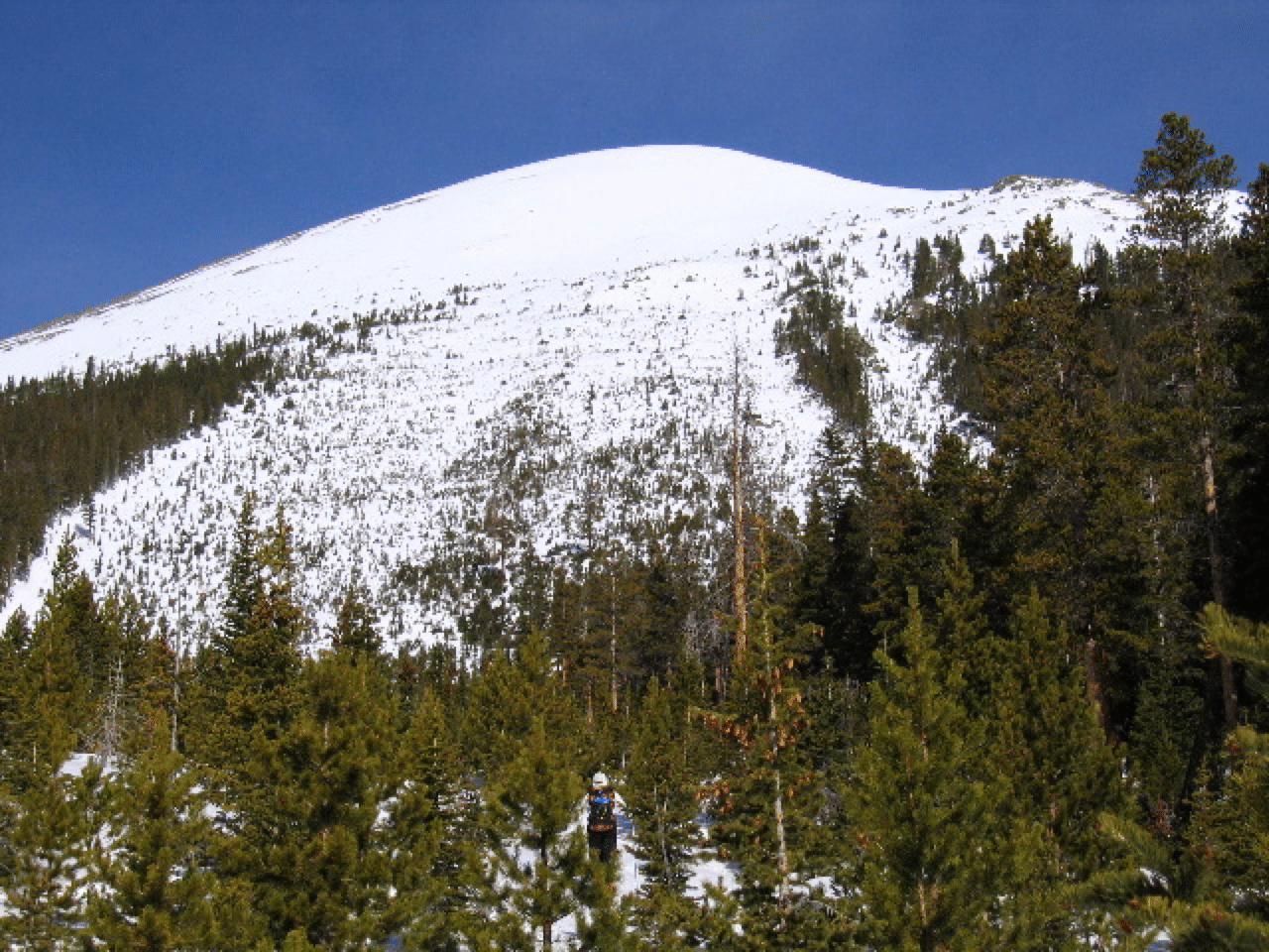
You probably know this route very well: the giant avalanche path on the east side of Buffalo, prominent from many points in Summit County. It is an excellent descent in early spring. I finally did it, solo, on May 10, 2003, on a snowy day, but with fine visibility. Amazingly, there was enough snow to ski the entire approach on the Lily Pad Lake Trail. Details: Take that trail from the Ryan Gulch trailhead to where it crosses Salt Lick Gulch. Then head uphill on a bearing just south of west (260 degrees). After 400 feet of easy climbing you will see the bottom of the path. Then head straight up, keeping to the west side when the skinning gets too steep. I had to carry my skis for about 500' near the top.
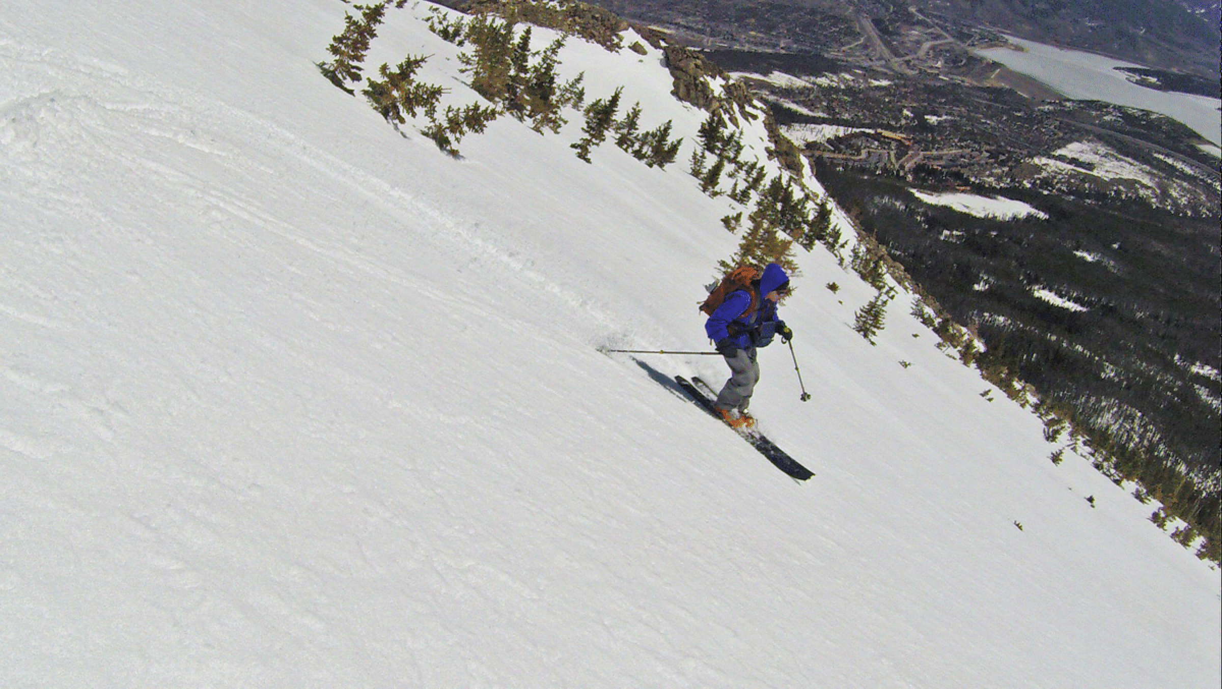
It is striking to finally see the true summit of Buffalo come into view on the right. The descent is about 2300 feet to the bottom of the slide path. Then angle hard left so as to hit the Lily Pad Lake trail as near the parking area as you can. I had perfect conditions for this part of the descent, and the whole trip took me under four hours.
It is noteworthy that in the days preceding this, I did some skiing but could hardly do a turn in the crusty conditions. But on this nice south-facing slope I did 150 telemark turns on descent.
There were two large avalanches in this path this season, but all signs were gone. The ascent in the sparsely treed slide path was very pleasant.
Update: May 15, 2005. Salazar, Kriegel, Portmann, and I did it in perfect conditions. The corn was phenomenal. Moreover, we were able to ski car to summit to car. In fact, it was so good we skied the upper thousand feet twice. The last part of the route through the trees in the avy path, was especially nice, as the snow coverage was good enough to wind around the trees. On the approach we left the trail at the first beaver pond, not far from the car, to take a direct line to the route.
On May 16, 2006, I did it solo. For the first of the three times I have done this there was not enough snow to ski car-to-car, but there was still plenty of snow on the upper face, and adequate snow on the whole slide path.
On March 24, 2007, four of us did this in a storm, after a long period of warm weather. All went generally well, except on descent we missed the avy path. Hard to believe! We somehow ended up too far west, into Lily Pad Lake eventually. The snow was so wet that we could easily return on that rolling trail with no skins.
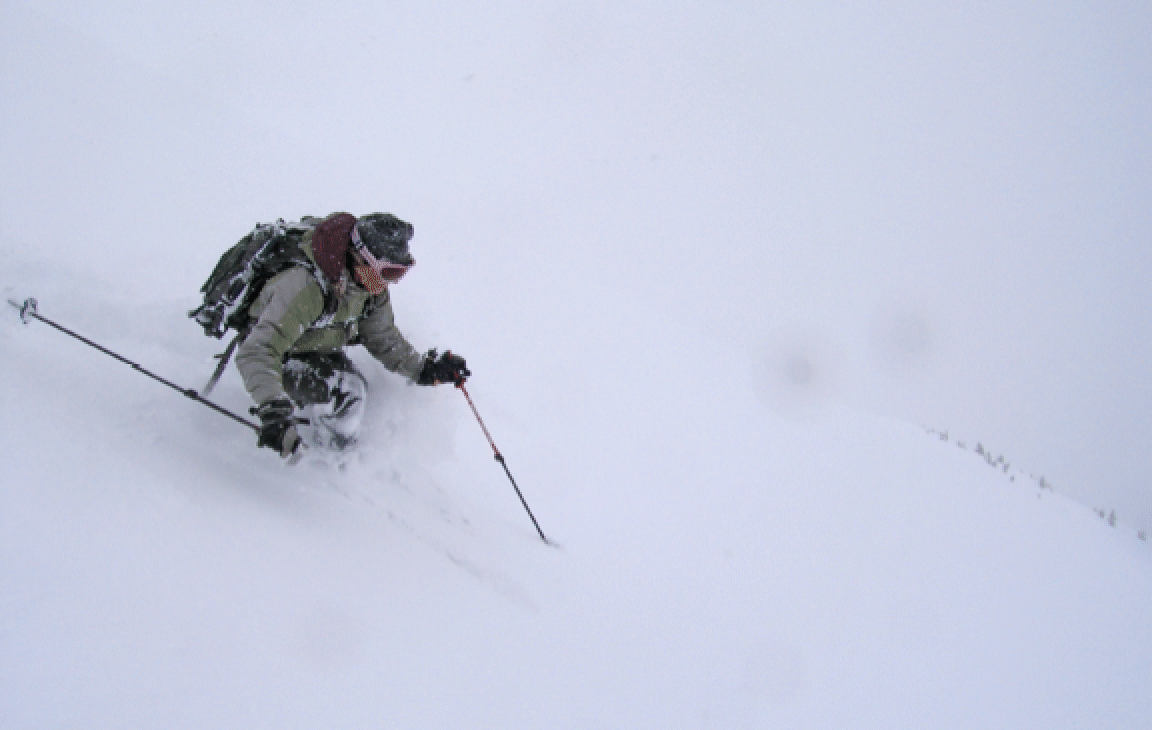
On May 13, 2008, Elke Dratch and I skied to the south summit in white-out conditions. But it was a full powder run on descent! Photo of Elke below:
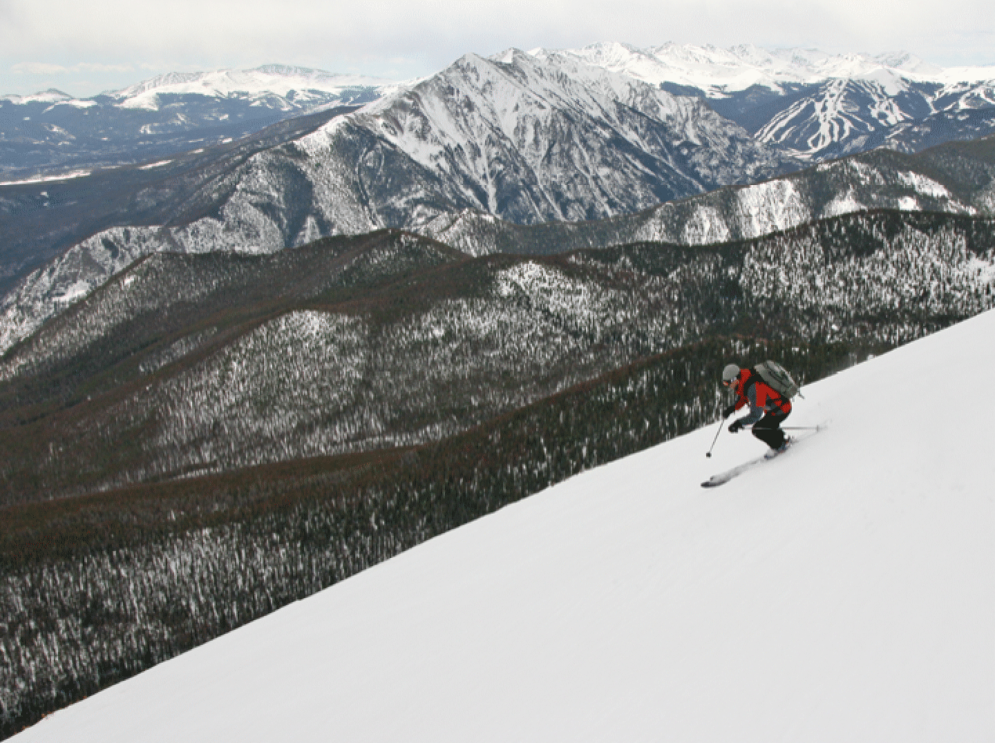
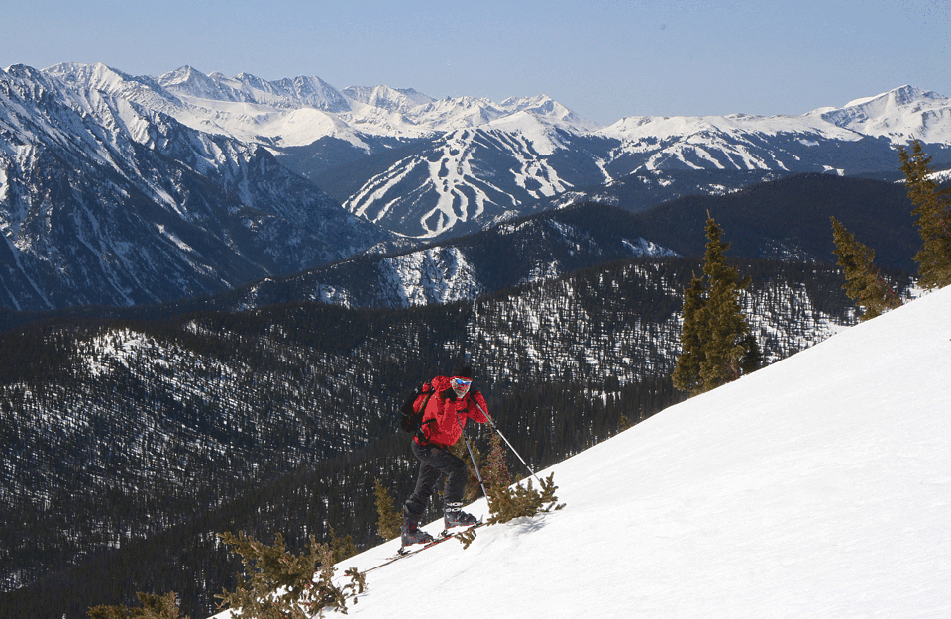
April 10, 2010, with Bob Portmann and Jonathan Kriegel. Ascent was very easy; excellent coverage in the woods. The upper part of the descent was crusty and hard to ski but it improved as we descended. I guess this is earliest I have done this. Here is Bob not far below the summit, with the TenMile Range behind.
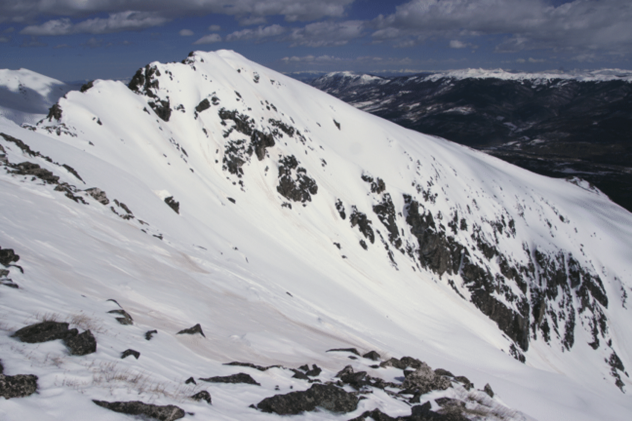
Here is a view of Buffalo’s main summit from the south summit.
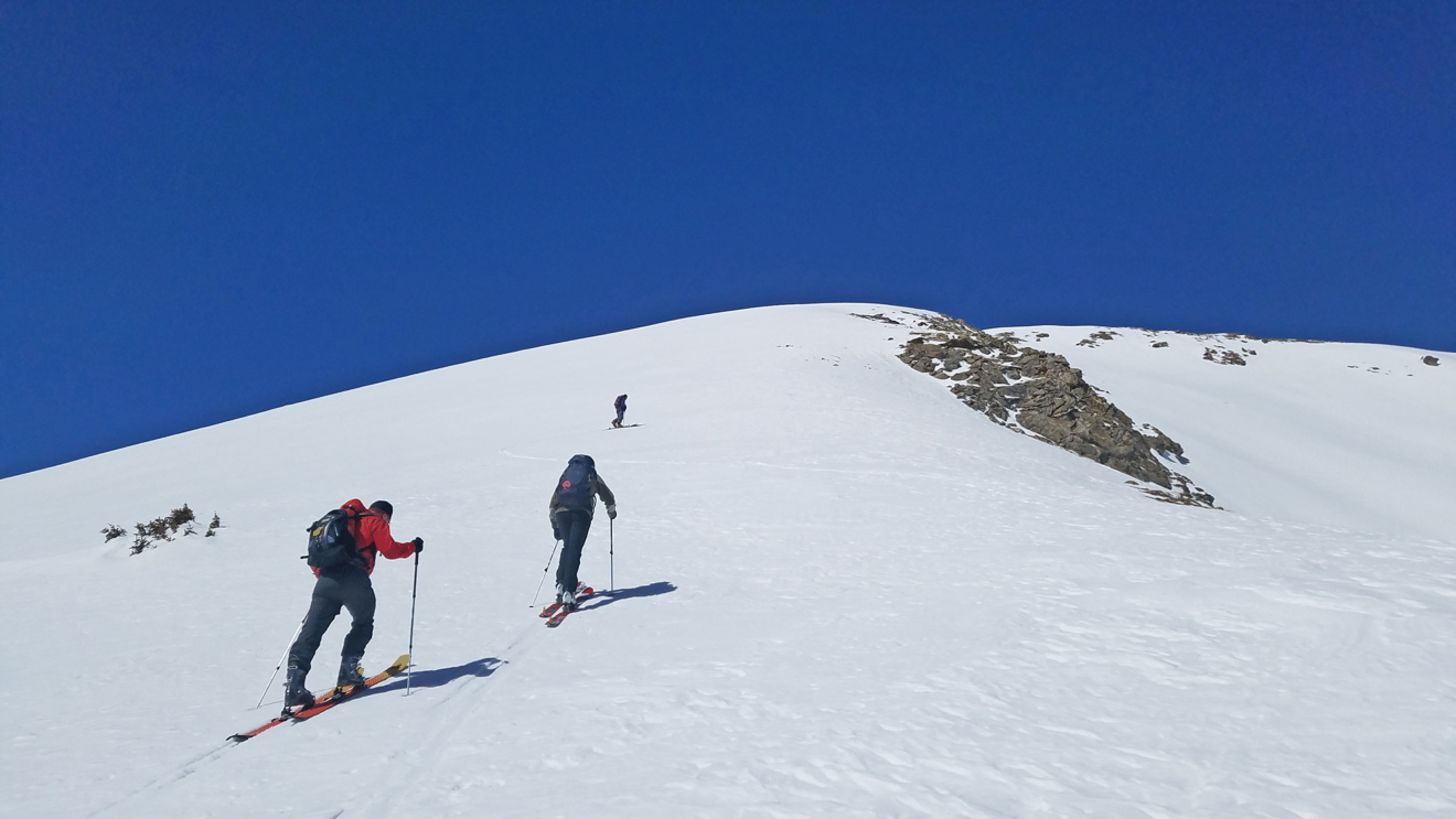
Skied with Elke Dratch on May 8, 2011, in perfect corn conditions. And again with Elke May 20, 2014, also in perfect conditions. And April 15, 2017, in fine conditions with Richard Seeley, Chet Roe, and Martin Reeves. Here is Martin almost at treeline. We made one error this day near the car, as the group got separated, causing some problems until everyone regrouped at the car. Rule One: Keep the group together.
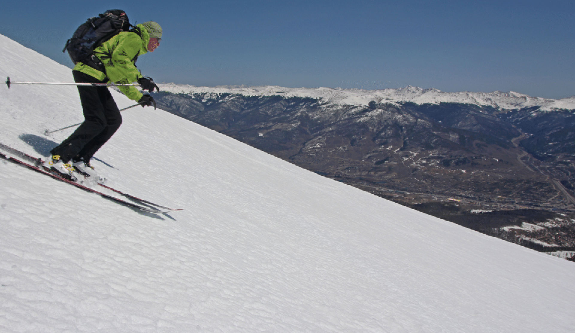
Almost at the top; the final climb is very pleasant. (Photo by Rich Seeley)
Chet descending
Stan descending (photo by Rich Seeley)