Bloodshaw: Big East
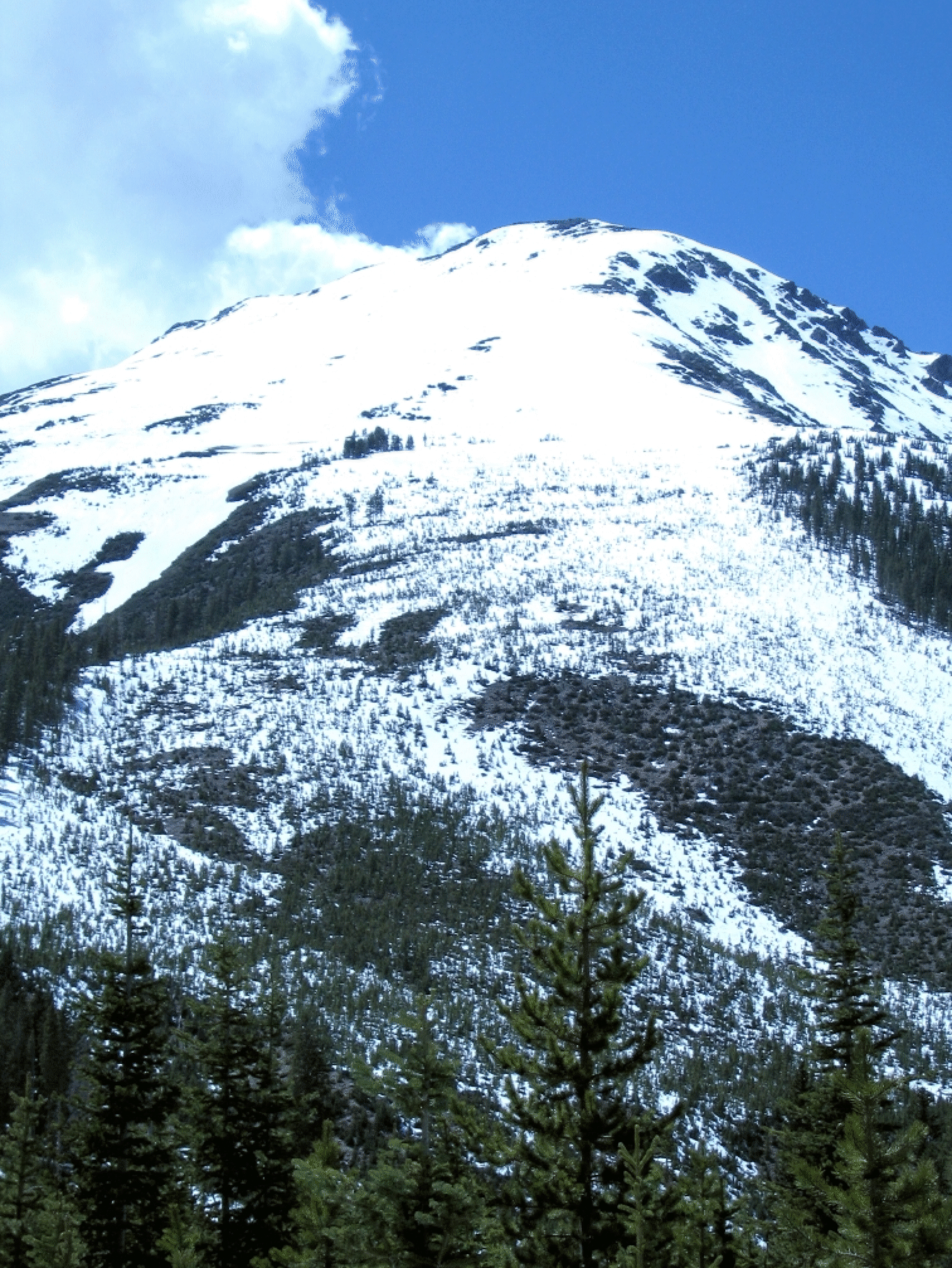
On May 21, 2006, Bob Salazar and I got to the summit of this peak (12855 feet), which is the easternmost point on the very long ridge extending east from Peak Z, and skied down the face. This is a long day, but the giant east-facing face is very prominent from the town of Dillon (also from Ute Pass Road), and has been on my to-do list for years. There is no parking at the Boulder Lake trailhead, so this requires a friend (thanks, Joan) willing to do a drop-off. Leave another car at the parking area on Route 9. Close map-work is needed to approach and exit efficiently. I suppose the best way is to take the Gore Range Trail north to Harrigan Creek and then take the trail that goes west just north of the swamp. Then cross over a very low ridge to get to the Slate Creek Drainage, which is where the face drains. From there one will see the large face.
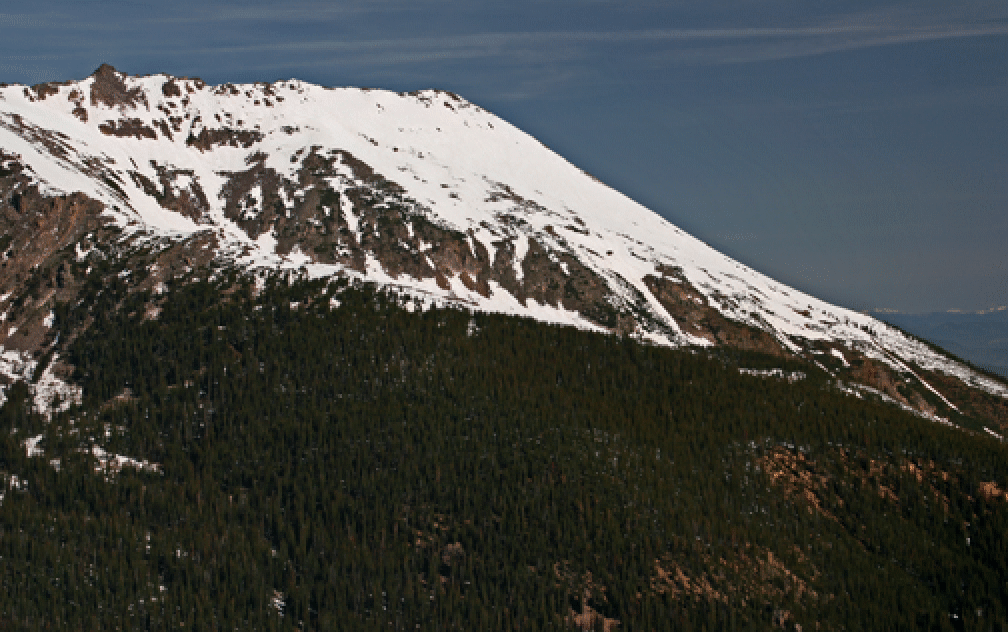
Despite warm weather and a southern exposure, the corn skiing on the face was fine. This would be an amazing mid-winter run if one could get to it! The second photo above shows the ski line in profile; photo taken from east ridge of Keller, May 26, 2007. The ridge on the left extends a long way until it hits Peak Z.