Buckskin, Northeast Face
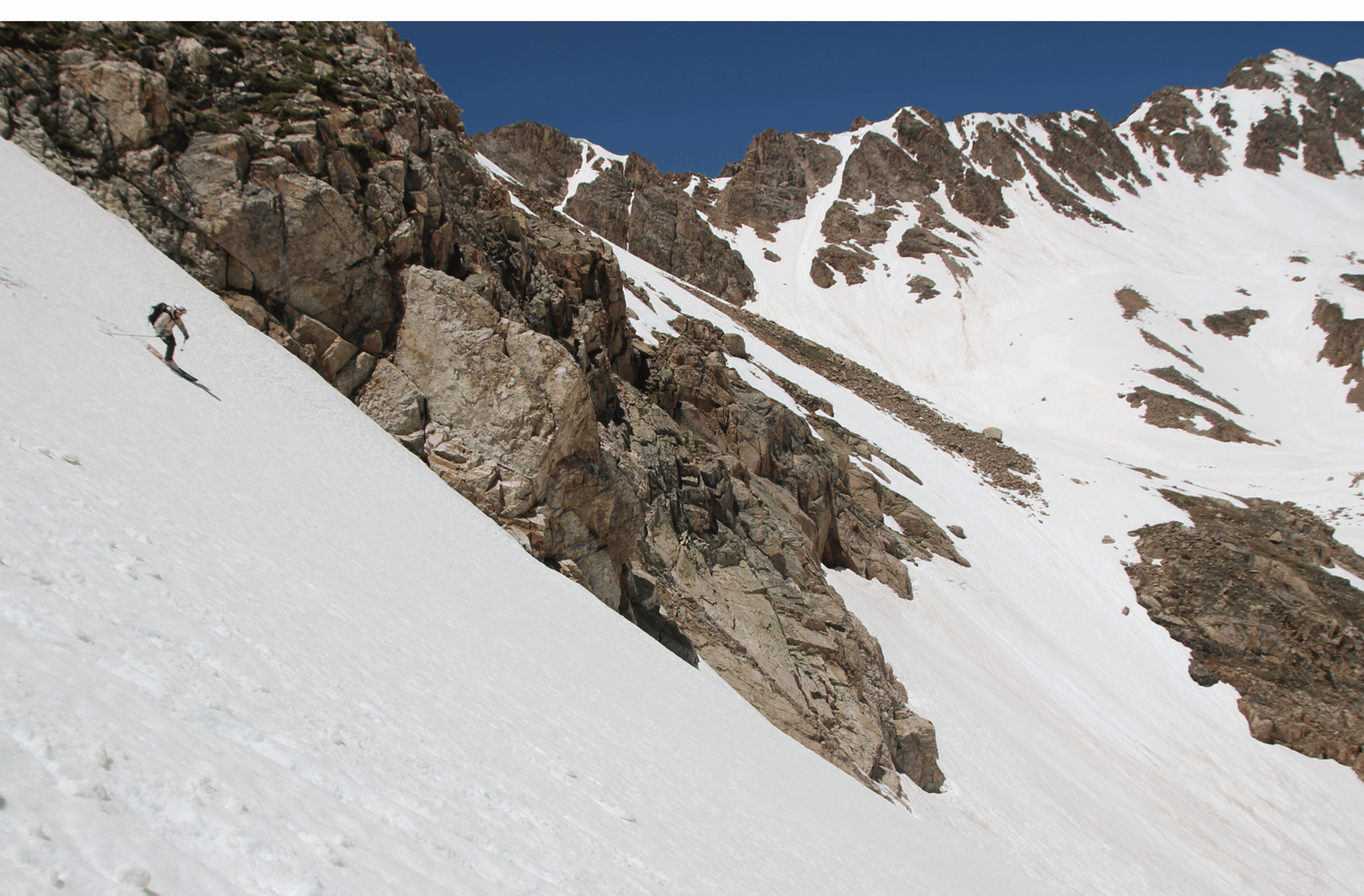
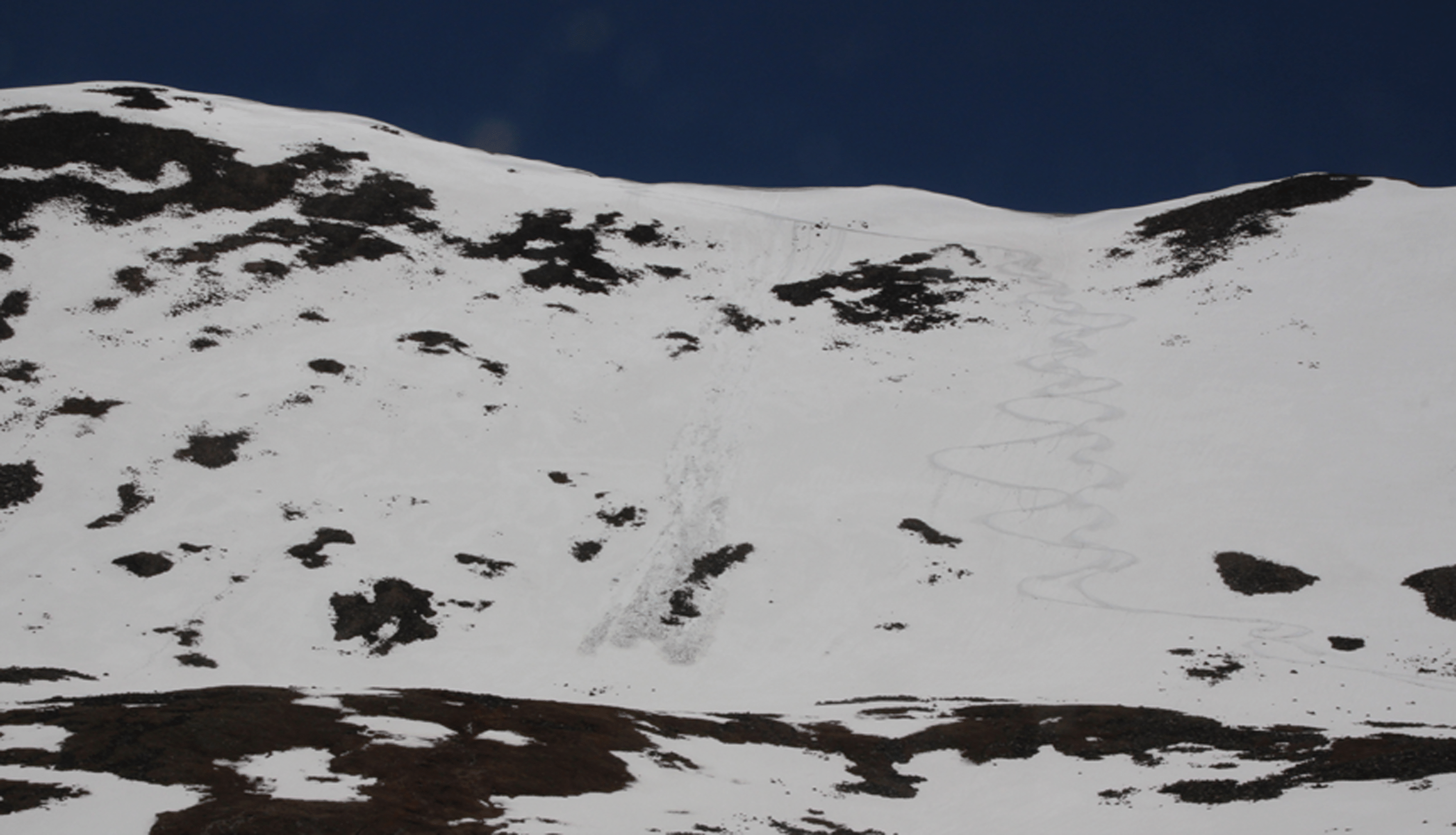
On June 2, 2004, I parked below Kite Lake and booted up Buckskin to ski its NE face. I ended up doing a little too much rock hopping, and should have used a snow line to the top. From the high summit (13865') the north face skied very well, and I could get all the way back to the car on skis. The line I skied started just W of the summit, descended about 800 feet, then went on flat terrain to the top of a cirque in the direction of Democrat. The line is visible in the image as the only decent continuous snow line from the summit. That cirque had a nice steep couloir through it, which is quite visible from the parking spot (just below and left of the center of the image). The roundtrip took under three hours.
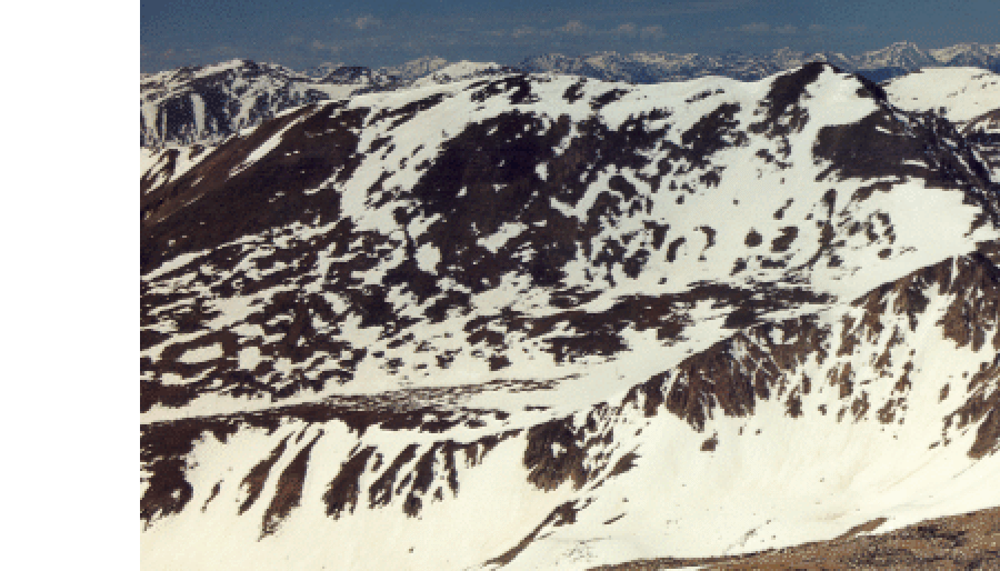
Just to the right of Buckskin's top, in the background, is an unnamed snowy summit, and to its right is the east shoulder of Mosquito Peak. These two offer good skiing with very easy access once the Mosquito Pass Road is open to their base.
Other peaks of note in this image: Sherman in the left background and, in the bakground far to the right, the north face of La Plata.
Followup: On May 22, 2005, Bob Portmann and I drove to within a mile of Kite Lake, where snow stopped us. We then climbed Buckskin by going up to the eastern summit (prominent snow line well left of center in the photo above; this is the true summit at 13865') and then walking the pleasant ridge to the western summit. This went very well, and the ski down the face was good, if a bit soft because of the warm spell.
May 20, 2009. Maggie and I climbed to summit and skied the N Face in perfect corn. 6:38 start. 10:10 back to car. Road was open to within a mile of Kite Lake. Below is the view from the summit of Democrat on June 23, 2009.
Here is a side view from the W ridge of McNamee (4/10/2011):
June 6, 2013: Climbed and skied the N Face with Elke Dratch. Skinned to the summit. Perfect corn on descent. Road was open to within a half mile of Kite Lake, which is perfect for this route.
And same again on June 10, 2014, with Dave Blakeslee. New snow made the face not really corn snow. But it was fine. Skied back to car. Road was open to within a half-mile of the lake.
June 19, 2015. With Rich Seeley. Fine conditions. Ski back to car. Kite Lake Rd was open only to a mile below the lake.
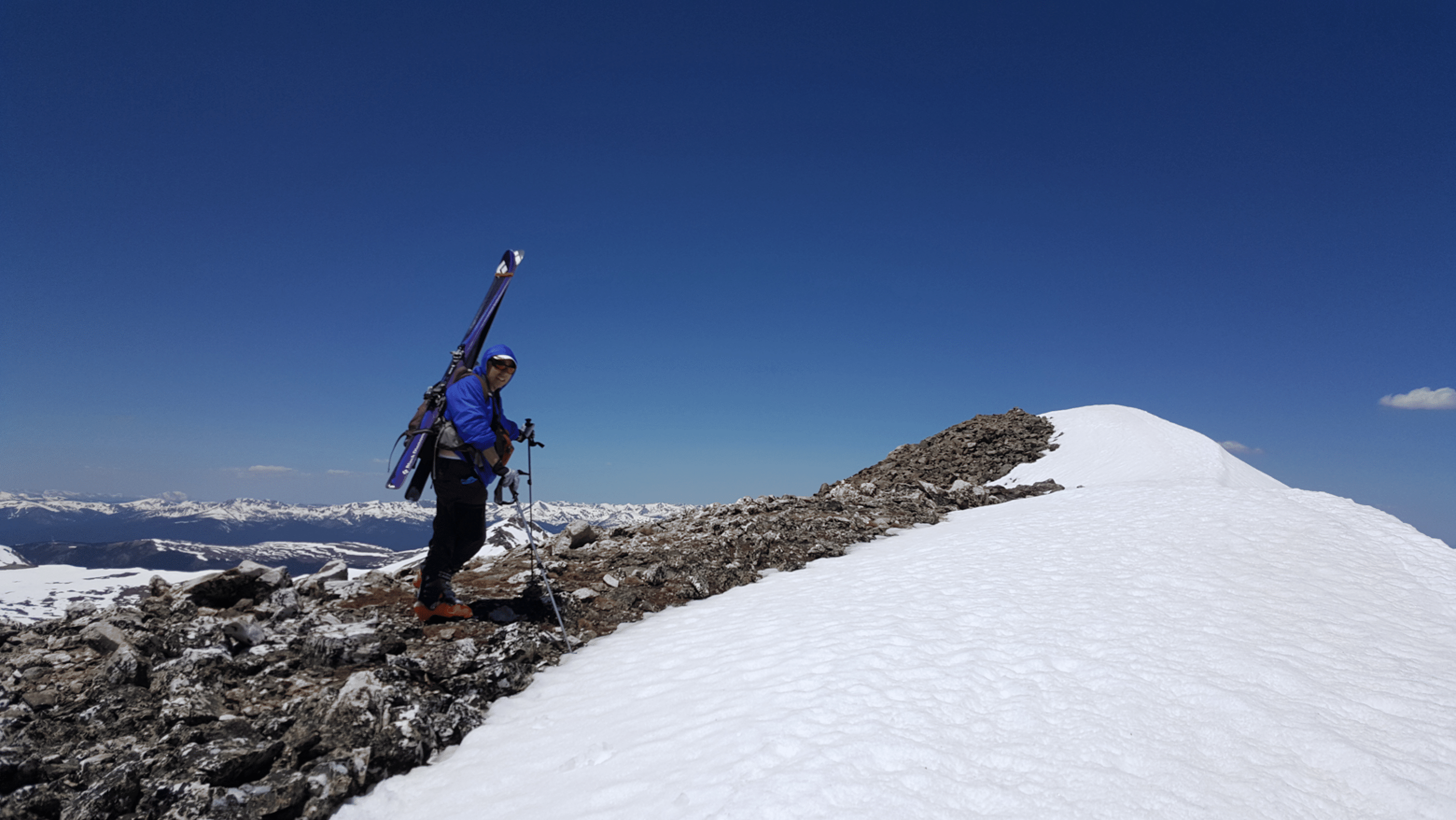
Stan on the summit ridge (Photo by Rich Seeley)
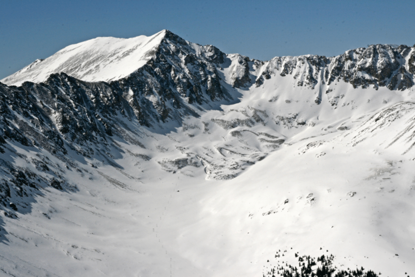
In 2015 we skied from east of the West Summit, as opposed to the usual face west of the W Summit. This is more north-facing. I started down but did not see the rocks below the rollover. So I cut back to my left to get a clean line.
After the face there is a nice gully into the flat area below Democrat. Rich enjoys the corn.