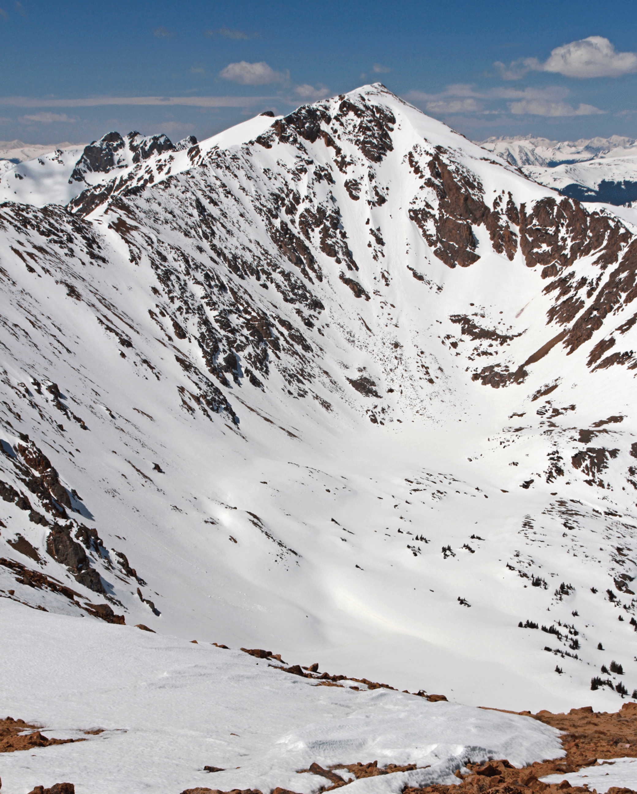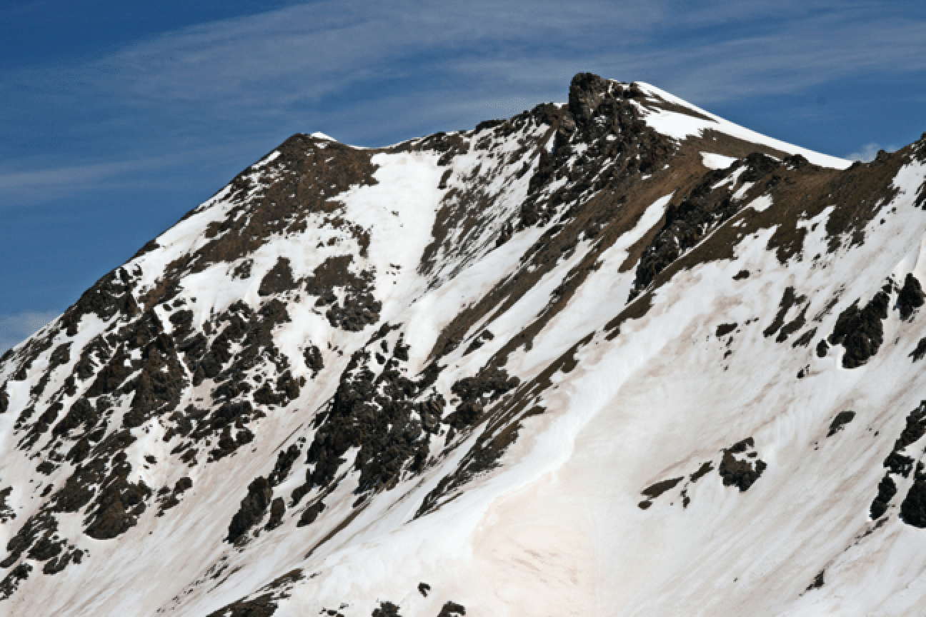
Pettingell, Northwest Face
The back side of Pettingell, facing generally northwest, is intimidating since dropping in leaves one in the Williams Fork Valley, a very pretty place but requiring a bit of a climb to get back to the I-70 side. On May 29, 2010, Kim McGranahan and I went up to the ridgeline -- the Continental Divide -- to try to find a good way down that I had seen in previous years from the summit of Buffalo. We started at Herman Gulch at 6:15, curled around a corner in front of Snoopy (Citadel) hoping to find a way up near the cliffs of Snoopy. We could not see the up-route until we rounded the last corner, but then it looked straightforward and we had a pleasant climb on snow and grass up to the ridge. Some goats watched us move along.
But at the true Snoopy-Pettingell saddle we saw only rocks on the other side. A little discouraged, we headed up the ridge to the east and soon found a place where there were only few rocks and a good ski line down into the Williams Fork Valley. Because this route is pretty close to Snoopy, we can call it Snoopy's Tail, to compare with his Collar and other oft-skied body parts on the other side.
Despite record high temperatures, this slope was still very icy and I side-slipped down quite a way before turning. Kim had no trouble. At the bottom we saw that the route I was hoping for was still farther east, and perhaps I will try that next year. At the bottom we headed west to a simple ridge-line return to the saddle W of Hagar. It was quite a pretty route, and from that saddle we curved down, around, and up to the Bethel-Snoopy saddle and then back into Herman Gulch. A lot of transitions this day! We finished at 3:15, nine hours after we started, with 4300 feet of climb under our boots and skins. Satisfying. I know the north side of Pettingell has been skied before, but I doubt it has been skied very often.
Below: The northwest side of Pettingell. Our descent route started from the light brown area right of center. A better line is likely the larger face left of center.

Below: The north side of Hagar from the top of our ski route, with a good view of our pleasant ridge of return at right.
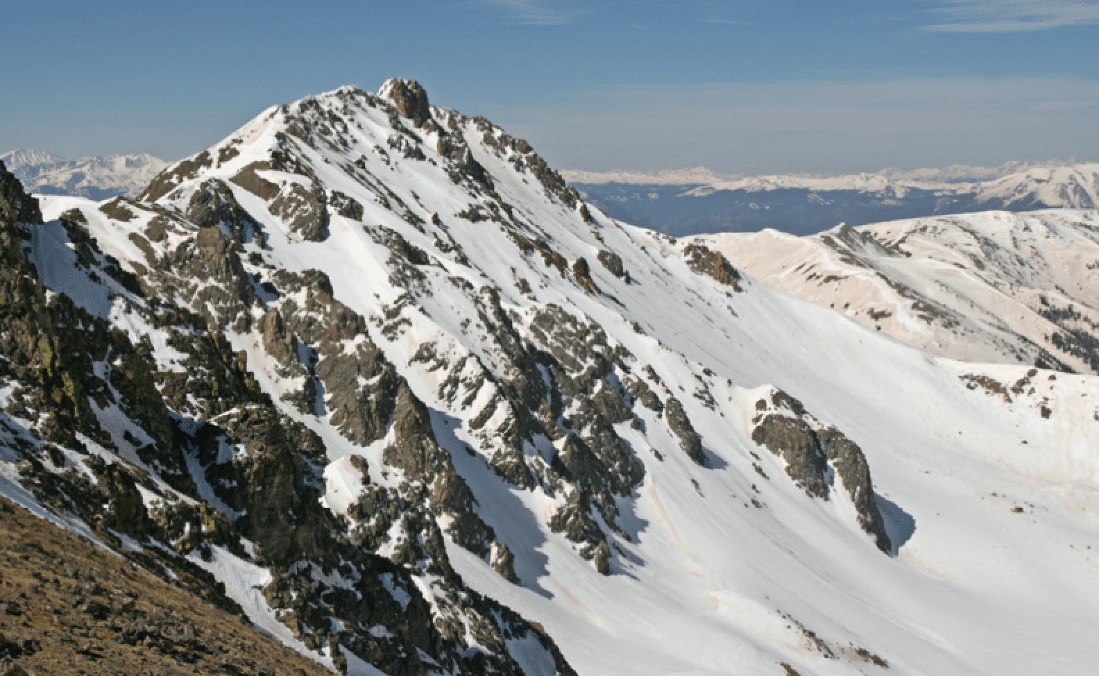
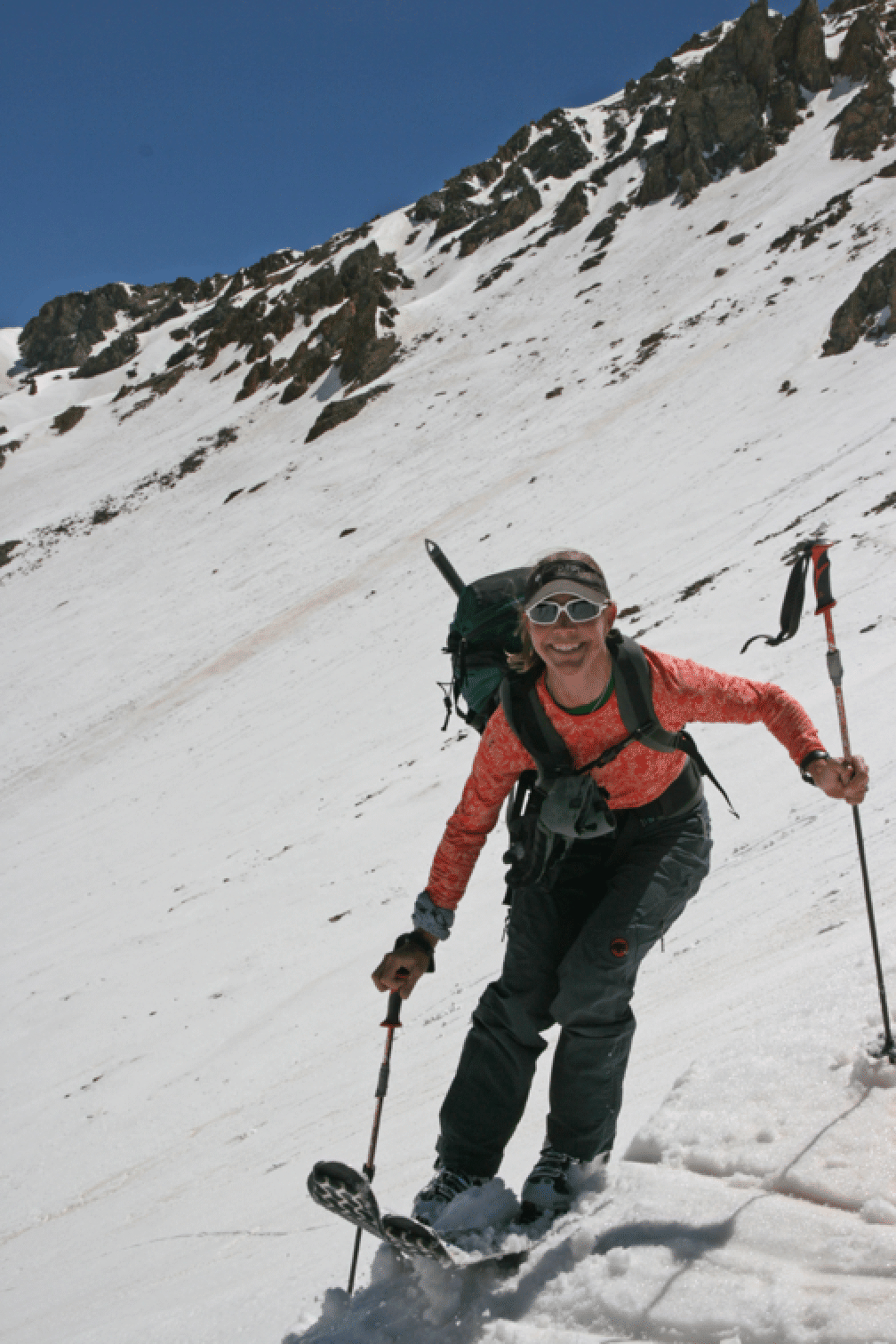
Below: Kim finishing her descent.
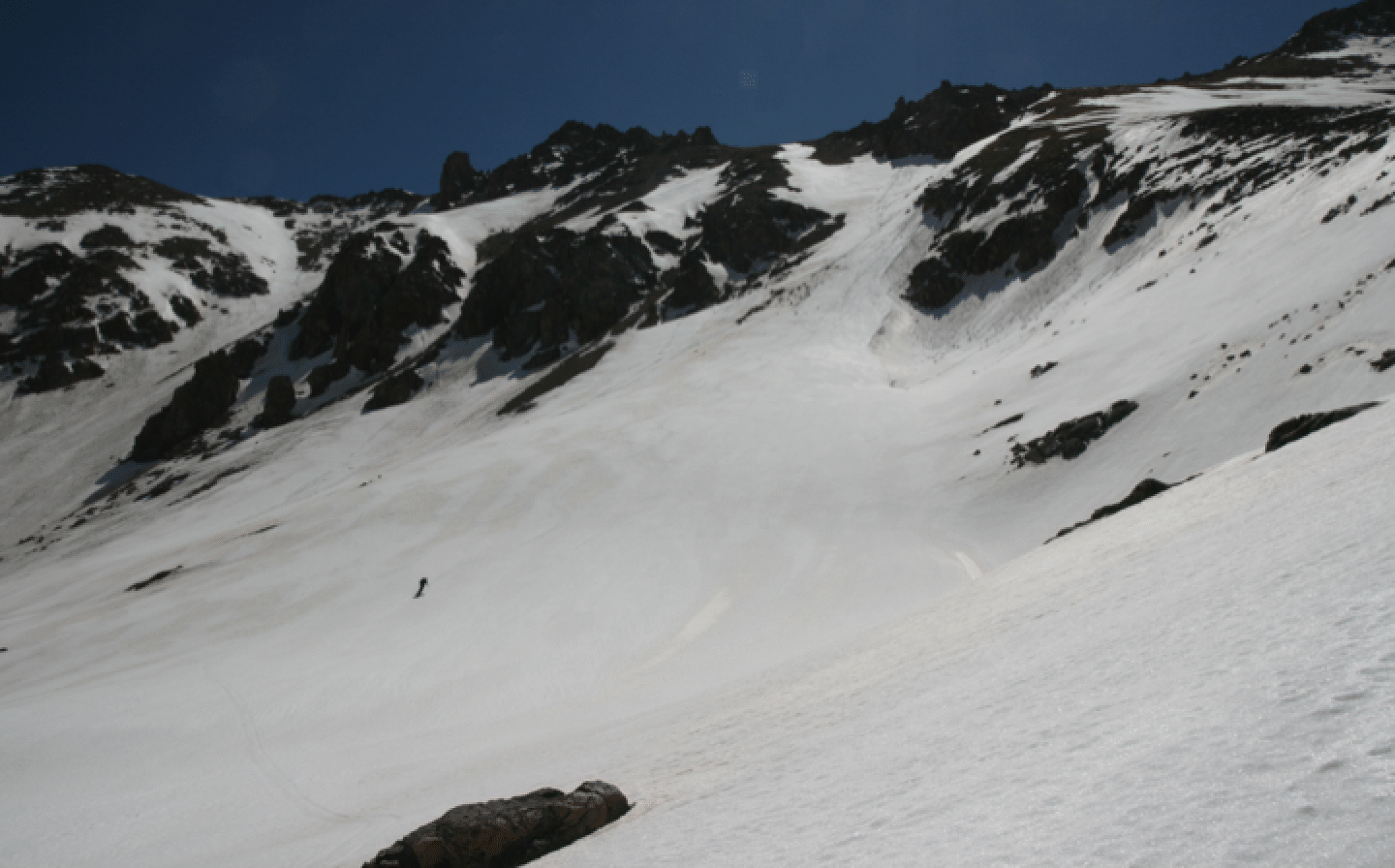
Below: Kim ascends the small cornice to gain the exit ridge to Hagar:
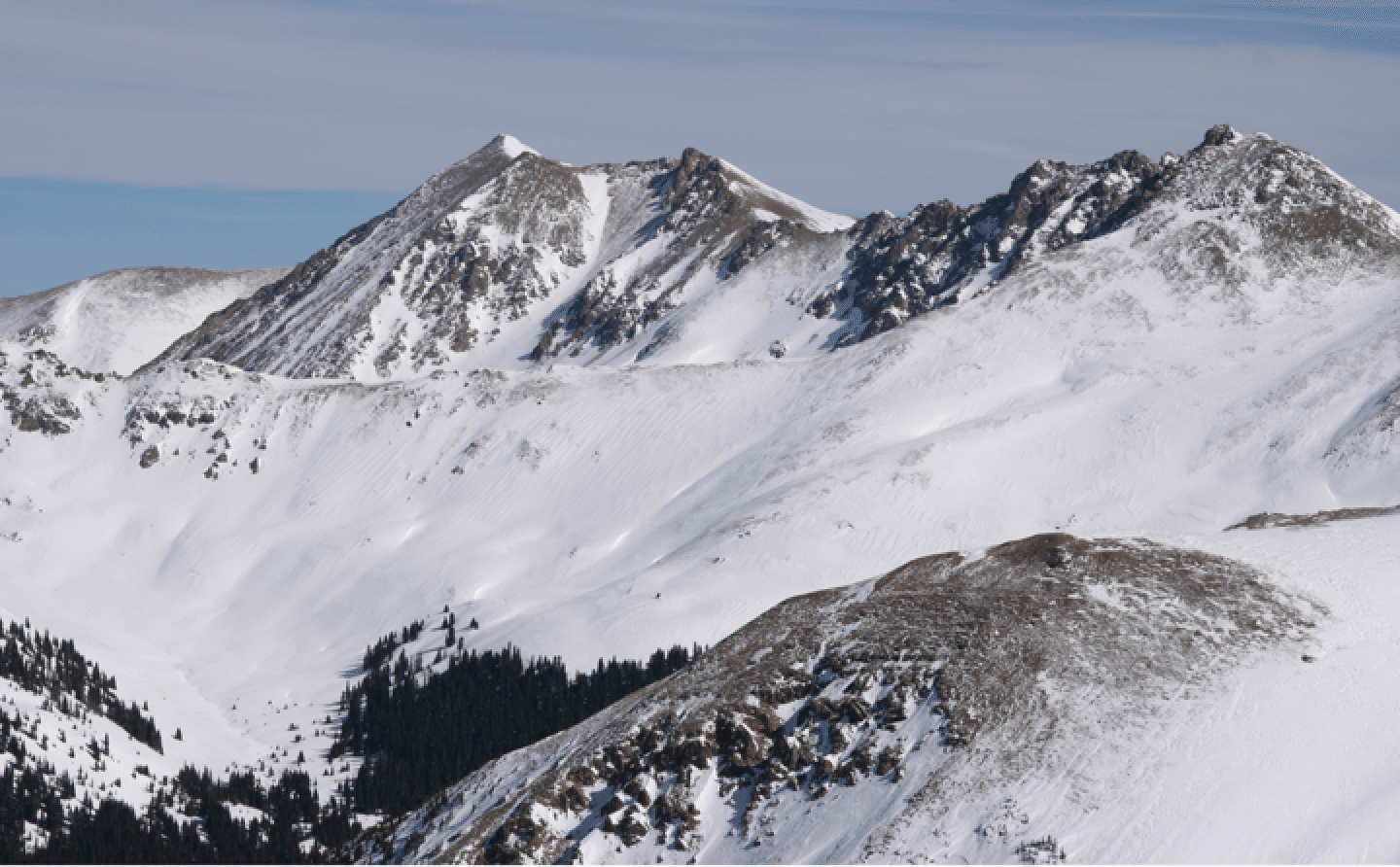
Here is a shot of the NW face of Pettengell taken from a Feb. 2011 traverse from Coon Hill to Ptarmigan. The long foreground ridge is what Kim and I used to get around Hagar on return last May.
Here is a view of the NE side of Pettingell, taken from Hassell, May 25, 2016. Lovely steep couloir here.
